01
Observe
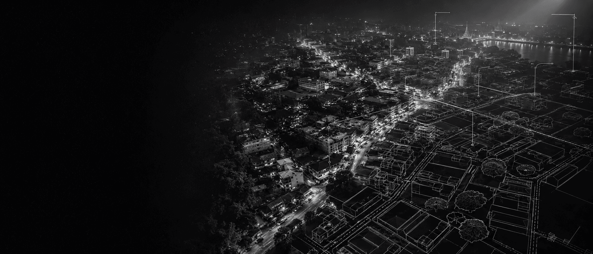
Street imagery, satellite tiles, video. Ordinary RGB, no dense active sensing required.
A framework that turns ordinary imagery into confidence-aware spatial representations, and says so when it does not know.
Today's AI systems understand documents, interfaces, APIs and text. What they lack is a persistent, structured, uncertainty-aware representation of the physical world: what stands where, how large it is, what the evidence for that belief is, and how much to trust it.
Capturing the planet with dense active sensing does not scale. Trusting raw visual reconstruction does not either: depth models drift, detectors hallucinate, and maps go stale. The missing piece is not a bigger model. It is a verification layer between imagery and belief.
The core innovation is not a single perception model. It is a self-correcting framework: form a spatial hypothesis, compare it against independent semantic, geometric, physical, temporal and geographic references, estimate uncertainty, surface contradictions, and decide when additional evidence is required. A single reference can be wrong. Multiple partially independent references collectively constrain the scene.
Street imagery, satellite tiles, video. Ordinary RGB, no dense active sensing required.
Detection, segmentation, metric depth, optionally SLAM or splatting, through model-agnostic adapters.
Object dimensions, human and vehicle proportions, road standards, maps, temporal observations, optional sensor calibration.
Agreement between independent references raises confidence. Contradiction is recorded with both readings intact.
Uncertainty is estimated per figure. Too high, and the system requests more evidence. This step loops back.
Task-relevant geometry with provenance, bands instead of false precision, explicit unknowns. Solyzer consumes it today.
Estimating the scale of one street scene from a single photo. Each reference implies a scale correction for the reconstructed geometry. No single reference is trusted alone.
Three independent references agree within 6 percent. The doorway disagrees by 31 percent, so it is flagged as probably nonstandard rather than allowed to corrupt the scale. The confidence band stays moderate, and if a second viewpoint exists, the system requests it before narrowing.
Every layer is replaceable. Detectors, depth models, reconstruction methods, databases and simulators plug in through defined interfaces, so the framework strengthens as the ecosystem around it improves.
Measured on one consumer laptop GPU, running live inside Solyzer's perception stack. Reported with their limits, because that is the point.
Road width from photos, 376 samples. An independent structural model said about 7 m. Two methods, blind to each other, 7 percent apart.
Segmented object shapes across four districts, each with polygon contours and per-object confidence.
Trees observed by vision in a district where the map recorded none. Observation and mapping are separate layers, compared, never blended.
The self-calibration verdict of the first measurement run, published as-is. Vehicle sizes did not yet validate the depth scale, so the artifact says so.
Known open problems: per-scene camera height without mount metadata, canopy clusters versus individual trees, calibration transfer across districts, degenerate detector output on dense fabric.
The cost of a wrong belief changes when AI gets a body. A hallucinated fact wastes a query and a retry. A hallucinated meter puts a gripper through drywall, a wheel off a curb, an inspection report in court. Physical AI cannot run on plausible. It needs world state that can carry the weight of a machine, with uncertainty priced in.
Today the industry answers that risk with hardware. Each machine carries its own dense sensor stack, rediscovers the same street on every pass, and takes what it learned to the scrapyard. The cost is paid per machine, per trip, forever. A shared, verified prior inverts the economics: the world is sensed once, checked against many references, and every machine after the first starts from a map instead of from zero.
To be plain: no robot, drone or vehicle runs on this today. Embodiment is a research direction, and the roadmap below labels it as one. The bet is specific. Trustworthy world state is the bottleneck, and it is cheaper to solve once, shared, than per machine. Solve it, and navigation, inspection, risk analysis and machines that pool what they learn all sit downstream.
No claims of cameras becoming LiDAR, complete Earth understanding, or solved embodiment. The defensible claim is narrower and stronger: cross-reference verification reduces dependence on dense active sensing, and confidence-aware representations are what agents can actually act on.
Open today: the repository itself, and the failure cases that shaped this work, published on this page rather than buried in a postmortem.
Will open as each hardens: the framework and its schemas, the reference pipelines and sample implementations, and the evaluation tools. The measurement artifact already has a stable versioned shape in production; writing it down as a spec is the next thing to land. A scene graph format and plugin interfaces are design intentions, not code, and we would rather say so than list them as though they were waiting for you.
Lives in Solyzer: the continuously updated world graph, curated reference databases, production calibration, coverage, and the explorable product that agents and people use today.
What developers can do today: read the architecture, follow the reference implementation as it lands in this repository, and consume the live deployment through Solyzer's open API and MCP tools, where agents already query measured geometry, observed objects and coverage on demand.
Hudhudbird is the perception and verification layer. Solyzer is the world: an explorable, continuously updated digital twin where people, AI agents and future physical systems read the same ground. The framework opens here piece by piece so the field can build on it. The world model ships there so anyone can use it today.
The name comes from the old story of the hudhud, the scout of Sulaiman's court: the bird that flies to a country the king cannot see and returns with a report he can act on. Go look at the world. Come back with reports you can defend.